
If Egypt closes the Rafah crossing, a major entry point for Gazans into Egypt, it will make it significantly more difficult for residents to leave now that it is at war with Israel.
The recent escalation of violence and tensions between Israel and Gaza is impacting mobility in both regions, and it is essential to understand these impacts in context. Mobility is an essential part of the daily lives of people around the world, and the Israel-Gaza region is no exception. The ability of Gaza Strip residents to flee depends on several factors, including the accessibility of border crossings.
border crossings
The Gaza Strip has only two primary border crossings: Erez with Israel and Rafah with Egypt. If Egypt decides to close the Rafah crossing, Gazans will lose their main alternative route out of the strip. This border crossing has also opened and closed unpredictably in the past, depending on the political and security situation between Gaza and Egypt.
While Israel has a well-developed and extensive public transportation network, Gaza suffers from limited resources and infrastructure.
The second escape route is even more difficult, if not impossible. Erez border crossing with Israel is strictly controlled by Israeli authorities. In the past, only people with special permits (such as medical patients, journalists, NGO workers and others) were allowed into Israel through this transition. During periods of increased tension or conflict, access is limited or completely blocked.
Gaza
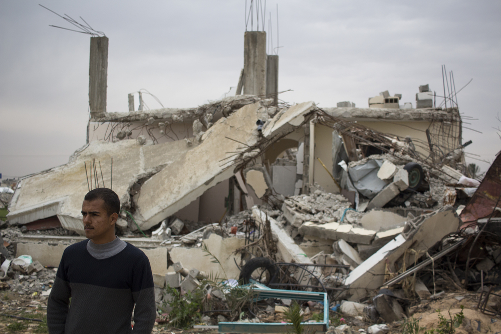
Apart from these two important transitions, there are no other official exits from the Gaza Strip. Although there have been smuggling tunnels between Gaza and Egypt in the past, many of them have been destroyed by Egyptian authorities, and they are dangerous and unofficial. Gaza, has several mobility challenges. Due to the years of blockade and limited resources, the area has limited public transport infrastructure.
However, there are several informal modes of transportation available, such as taxis and rickshaws, which are widely used by locals. In terms of aviation, Gaza has limited access. The Yasser Arafat International Airport, once the pride of the Gaza Strip, was destroyed in 2001 and has not been rebuilt since. This has left the Gaza Strip largely dependent on border crossings with both Israel and Egypt for travel abroad.
Israel
Israel has made significant investments in the development and expansion of its public transportation network in recent years. The trams in cities such as Jerusalem have also played an important role in easing traffic congestion and providing an alternative mode of transportation for residents and visitors.
In addition, aviation plays a crucial role in Israel's connection with the outside world. Ben Gurion Airport, located near Tel Aviv, is the country's main international airport and handles millions of passengers every year. The aviation sector has continuously adapted to the changing security situations in the region, with strict security measures in place to ensure the safety of both travelers and the country.

For example, Israel Railways' train network has undergone several expansions, meaning that previously unconnected cities and regions can now be reached in an efficient and time-saving manner.
What someone considers the “borders” of Israel can vary widely depending on political beliefs and perspectives. Israel has a western coastline along the Mediterranean Sea. Israel's land borders are the result of historical events, wars and diplomatic agreements since the state's founding in 1948. Israel's borders, particularly in relation to the Palestinian territories, have always been a source of ongoing political debate and conflict.
across borders
The northern border with Lebanon was defined by the 1923 Franco-British border agreement and has later become known as the “Blue Line”, especially after Israel's withdrawal from southern Lebanon in 2000. The northeastern border with Syria, the Golan Heights, is an area Israel captured from Syria during the 1967 Six-Day War, and still a disputed territory. Israel annexed the Golan Heights in 1981, but this annexation is not internationally recognized. The ceasefire line between Israel and Syria, established after the 1973 Yom Kippur War, is often referred to as the “Purple Line.”
The eastern border with Jordan is the border between Israel and Jordan that was established in the 1994 Israeli-Jordanian peace treaty. The Jordan River and the Dead Sea form large parts of this border. The southern border with Egypt was created after the 1967 Six-Day War. Israel occupied the Sinai Desert but returned it to Egypt after the 1978 Camp David Agreement and the subsequent 1979 peace treaty. The internationally recognized border between Israel and Egypt runs from the southernmost point of the Gaza Strip to the Red Sea at Eilat and the Egyptian city of Taba.